
Data Catalog
World ocean data, one place.
Below is a sample of data on the Ocean Data Platform.
Users will be able to pull and analyse data through API, allowing for powerful fusion of data.
Along with large open source datasets, industrial data will also be available, allowing for more transparent and layered analysis.
If you would like to integrate your data, please write us at info@oceandata.earth.
-

The World Ocean Database
The World Ocean Database (WOD) is world's largest collection of uniformly formatted, quality controlled, publicly available ocean profile data. It dates back to Captain Cook’s journey in 1772.
-

World Ocean Atlas
The World Ocean Atlas (WOA) is a collection of objectively analyzed, quality controlled temperature, salinity, oxygen, phosphate, silicate, and nitrate means based on profile data from the World Ocean Database (WOD).
-

GEBCO Bathymetry Data
GEBCO’s gridded bathymetric dataset is a global terrain model for ocean and land, providing elevation data in meters on a 15 arc-second interval grid.
-

EMODnet Human Activities
The EMODnet Human Activities geospatial dataset logs human activities carried out in EU waters. Data includes geographical position, spatial extent of activities related to the sea, their temporal variation, time when data was provided, and attributes to indicate the intensity of each activity.
-

SST Coral Reef Watch
The NOAA Coral Reef Watch daily global 5km Sea Surface Temperature (SST) dataset shows the nighttime ocean temperature measured at the surface. The SST scale ranges from -2 to 35 °C. The product is updated each afternoon at about 12:00pm U.S. Eastern Time.
-
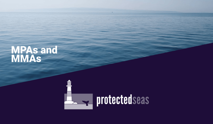
Protected Seas MPAs + MMAs
Protected Seas’ geospatial dataset consists of boundaries and regulations for Marine Protected Areas (MPAs) and Marine Managed Areas (MMAs) globally.
-

Global Vessel Emissions
Global Vessel Emissions is a gridded dataset of monthly vessel traffic and CO₂ emissions from the world’s shipping fleet. The emissions are estimated from ship position data (AIS) and vessel particulars using the ICCT methodology.
Not finding what you’re looking for?
Write us at info@oceandata.earth and tell us about your data needs.